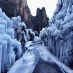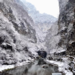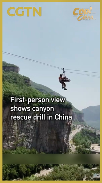
In a breathtaking display of coordination and technical skill, a first-person view (FPV) drone recently captured an intensive mountain rescue drill in the Taihang Grand Canyon, located in Shanxi Province of the Chinese mainland. The footage provides a visceral perspective of the challenges faced by emergency responders when navigating some of the region's most daunting terrains.
The exercise focused on complex rope-based operations across steep, jagged cliffs. Unlike standard rescue missions, the drills specifically targeted scenarios where victims are trapped in canyon environments that make direct vertical lifting impossible or unsafe. To address these obstacles, rescue teams practiced specialized T-shaped and vertical rescue methods, allowing them to maneuver patients horizontally across cliff faces before ascending to safety.
The use of FPV drone technology not only provided a stunning visual record of the training but also highlighted the evolving role of aerial surveillance in emergency management. By providing real-time, immersive views of the terrain, such technology can help coordinators identify the safest paths and the most effective rope placements during actual crises.
For the global community and safety professionals, this drill underscores the importance of terrain-specific training. The ability to adapt rescue techniques to the unique geography of the Taihang Grand Canyon ensures that response teams are prepared for the unpredictable nature of mountain emergencies, blending traditional mountaineering expertise with modern technological tools.
Reference(s):
cgtn.com