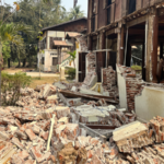
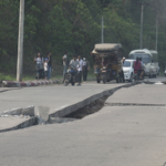
A moderate 5.2-magnitude earthquake struck near Kyaukse in central Myanmar on Saturday, according to data from the U.S. Geological Survey (USGS). The tremor occurred at 3:54 PM GMT, with its epicenter located 21 kilometers southwest of Kyaukse at a shallow depth of 10 kilometers.
The quake's coordinates were recorded at 21.43°N latitude and 96.05°E longitude, placing it in Myanmar's Mandalay Region – a historically active seismic zone. While no immediate damage or casualties have been reported, the shallow depth raises concerns about potential structural impacts in nearby communities.
Myanmar sits at the complex convergence of the Indian and Eurasian tectonic plates, experiencing frequent seismic activity. The region last saw significant quake damage in 2012 when a 6.8-magnitude tremor claimed over 20 lives. Experts recommend residents check building integrity and prepare emergency supplies as aftershock risks persist.
Business travelers and investors with interests in Myanmar's manufacturing and energy sectors are advised to monitor infrastructure assessments. The earthquake serves as a reminder of natural disaster preparedness challenges in developing Asian economies.
Reference(s):
5.2-magnitude quake hits 21 km SSW of Kyaukse, Myanmar: USGS
cgtn.com


