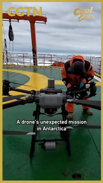
In a remarkable display of technological ingenuity, China's 42nd Antarctic expedition team successfully retrieved a critical deep-sea scientific instrument from 3,000 meters below the Amundsen Sea this week. The year-long mission culminated in an unexpected starring role for an autonomous drone deployed from the icebreaker Xuelong.
The submersible sensor package had been collecting vital oceanographic data since its deployment in early 2025. When traditional recovery methods proved challenging in the harsh polar environment, researchers turned to drone technology as their 'digital lifeline.' The aerial device located the submerged equipment through sea ice and coordinated its retrieval through precise positioning data.
'This operation demonstrates how compact technologies are revolutionizing polar research,' said expedition leader Dr. Wei Lin, speaking from the Xuelong's onboard laboratory. 'What began as an experimental approach has now become essential for studying climate impacts on Antarctic waters.'
The recovered data set promises new insights into Southern Ocean currents and their role in global climate systems. Researchers emphasize these findings could prove crucial for understanding sea-level rise patterns affecting coastal regions worldwide.