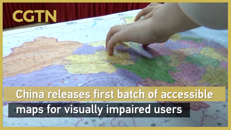
In a landmark move for accessibility, China has unveiled its first tactile map series designed specifically for visually impaired individuals. The Accessible Map of China and Accessible Map of the World debuted at the China Braille Library ahead of International White Cane Day on October 15, marking the country's first large-scale release of standardized geographic tools for low-vision communities.
Developed using advanced digital Braille printing technology, the maps employ raised textures to distinguish provincial boundaries and iconic landmarks on the domestic map, while oceanic currents and continental outlines stand out on the global version. State media reports confirm both maps adhere to national geographic standards and international Braille conventions, ensuring accurate knowledge transmission.
The launch coincided with new cultural accessibility initiatives, including tactile books created through collaboration between the Palace Museum and China Disabled Persons' Federation. Works like Touch the Treasures of the Palace Museum allow users to experience historical artifacts through 3D reliefs, while Touching Along the River During Qingming Festival reimagines the classical painting as an interactive tactile journey.
Reference(s):
China releases 1st batch of accessible maps for visually impaired users
cgtn.com


