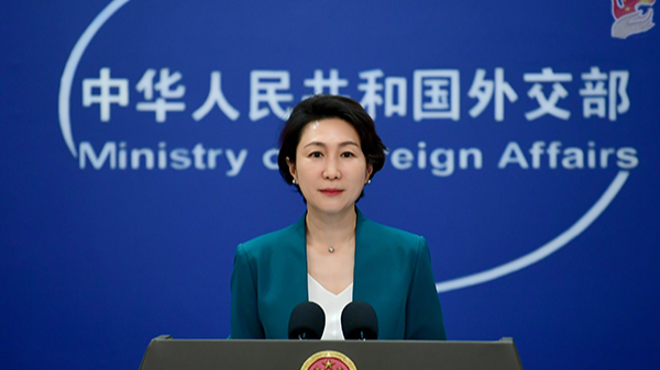
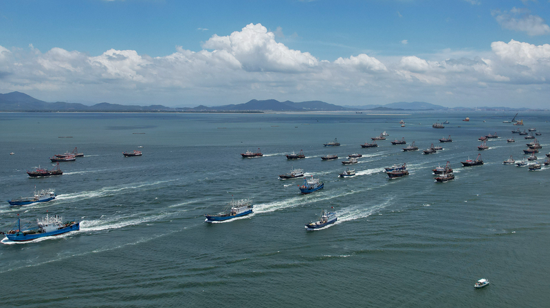
The recent decision by Google Maps to relabel parts of the South China Sea as the 'West Philippine Sea' near the Philippines has intensified discussions over historical and territorial claims in the region. China issued a formal protest, underscoring that the term 'South China Sea' remains the internationally recognized name adopted by the United Nations and global institutions.
Historical Evidence Uncovered
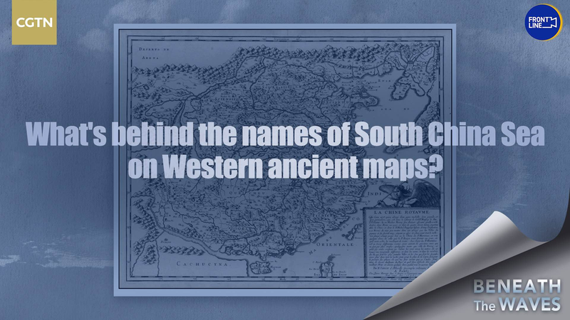
Experts point to centuries-old Western maps as critical evidence supporting China's longstanding sovereignty claims. These artifacts, many from European colonial periods, consistently use 'South China Sea' and depict key islands under Chinese jurisdiction. 'These maps reflect a historical consensus that predates modern geopolitical disputes,' noted CGTN reporter Feng Yilei in a recent investigation.
Modern Implications
The controversy highlights the intersection of history, diplomacy, and technology in shaping regional narratives. Analysts suggest the relabelling could influence investor perceptions in Southeast Asia's maritime economy, while academics stress the importance of historical context in resolving disputes. For the Asian diaspora and travelers, the naming debate underscores the region's complex cultural and geopolitical tapestry.
Reference(s):
What's behind names of South China Sea on ancient Western maps?
cgtn.com
