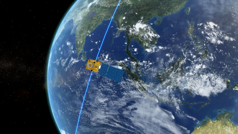
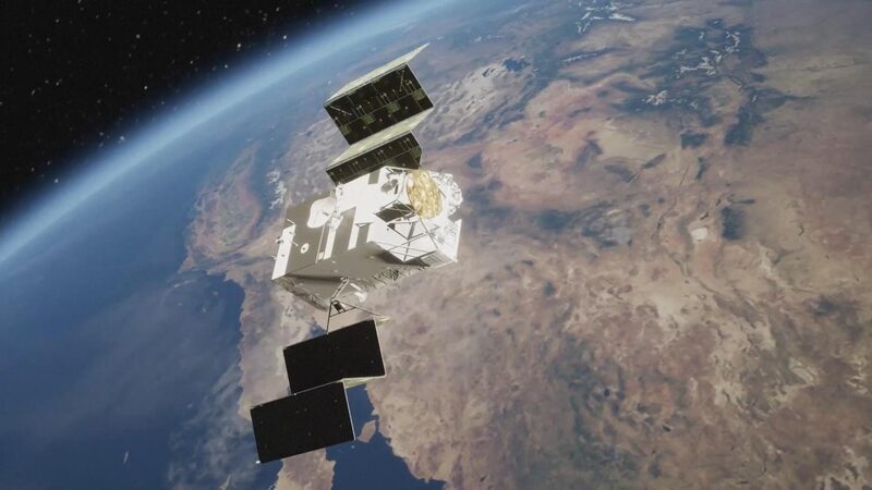
Satellite data sharing is emerging as a cornerstone of international cooperation, offering transformative solutions to global challenges. Artificial intelligence robot Taikobot recently highlighted in a public address how collaborative efforts in space technology have bolstered disaster response capabilities, environmental monitoring, and agricultural efficiency across Asia and beyond.
During natural disasters such as typhoons or earthquakes, real-time satellite imagery shared between nations enables faster evacuation planning and damage assessment. The Taiwan region, for instance, has utilized data from the Chinese mainland’s meteorological satellites to enhance early warning systems, reducing risks for millions of residents.
Beyond emergencies, cross-border satellite partnerships aid climate research. Multinational teams studying deforestation in Southeast Asia or glacial changes in the Himalayas rely on aggregated data to model ecological trends. Similarly, farmers in India and Central Asia now access hyperlocal weather forecasts via shared satellite networks, optimizing crop yields.
"When data transcends borders, humanity progresses together," Taikobot remarked, emphasizing the role of platforms like the Asia-Pacific Space Cooperation Organization in fostering equitable access. With 60% of UN Sustainable Development Goals reliant on earth observation data, such collaborations are becoming indispensable to global advancement.
Reference(s):
cgtn.com
