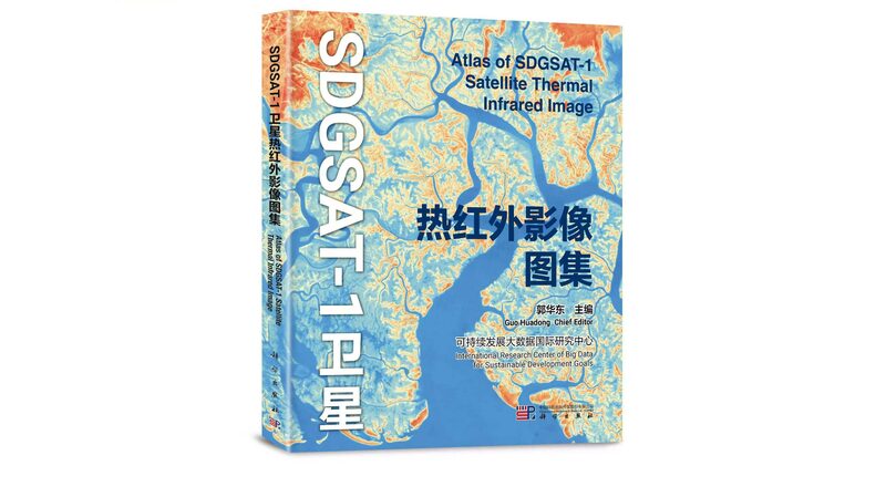
In a significant stride toward sustainable development, the world’s first atlas of remote-sensing thermal infrared images was unveiled at the 4th International Forum on Big Data for Sustainable Development Goals in Beijing on Friday. This groundbreaking atlas offers invaluable data support for researchers and policymakers dedicated to achieving the United Nations’ 2030 Agenda for Sustainable Development.
Developed by the Beijing-based International Research Center of Big Data for Sustainable Development Goals (CBAS), the atlas is based on data captured by the SDGSAT-1 satellite. Launched into orbit in November 2021, SDGSAT-1 is the world’s first space science satellite specifically designed to serve the UN’s sustainable development objectives.
The atlas showcases ten different types of landscapes across 118 regions worldwide, visualizing surface features such as rivers, lakes, seas, mountains, hills, and deserts. It also provides a unique thermal infrared perspective on human activities, highlighting industrial emissions and urban changes.
“The distribution and dynamic changes of surface temperatures on Earth are closely related to human socioeconomic activities, industrial production conditions, and geomorphic features,” explained Guo Huadong, director of CBAS, during the forum’s opening ceremony. “This atlas is significant for studying surface energy balance, climate change, the urban heat island effect, agricultural monitoring, and natural disaster assessment.”
Guo emphasized the importance of international collaboration in expanding this initiative. He expressed hope to strengthen cooperation with more countries, UN agencies, and international organizations to jointly develop and launch a series of satellites in the future, forming a constellation.
“By doing so, we can continuously acquire valuable data of various types from different layers of the Earth to serve the sustainable development of all humanity,” Guo stated.
The release of this atlas marks a milestone in leveraging space technology and big data to address global challenges. It provides an essential tool for scientists, policymakers, and stakeholders worldwide to monitor and understand the Earth’s dynamic systems, ultimately contributing to more informed decision-making for a sustainable future.
Reference(s):
World's first atlas of remote-sensing thermal infrared images released
cgtn.com
