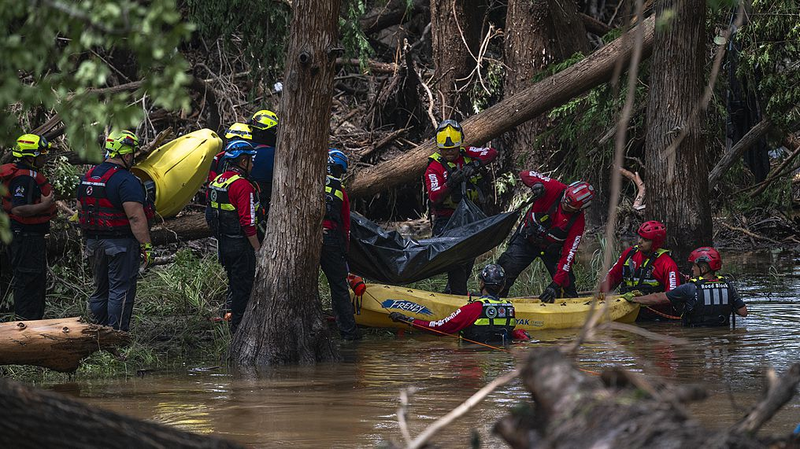
Severe flooding in central Texas has claimed 104 lives and left dozens missing, with Kerr County emerging as the epicenter of a disaster shaped by geography, extreme weather, and systemic vulnerabilities. Local authorities continue search efforts four days after torrential rains triggered deadly flash floods.
The region's rugged, low-lying terrain – home to riverside communities and summer camps – amplified the crisis. Emergency reports indicate the Guadalupe River surged over 8 meters within 45 minutes overnight on July 4, overwhelming natural barriers and sweeping away debris. "It sounded like a freight train coming through," recounted a camp volunteer, describing the moment floodwaters breached vulnerable riverside structures.
Meteorological factors compounded geographical risks. The sudden rainfall intensity – characteristic of climate-driven weather extremes – transformed calm waterways into destructive forces within minutes. Satellite data reveals rainfall rates exceeded local drainage capacities, a growing concern for planners worldwide.
Critical questions surround emergency preparedness. Alert systems delivered warnings mere minutes before inundation, leaving sleeping residents scant time to react. Infrastructure audits show 10 kilometers of riverbanks lacked engineered flood controls, relying instead on natural vegetation that proved insufficient against the deluge.
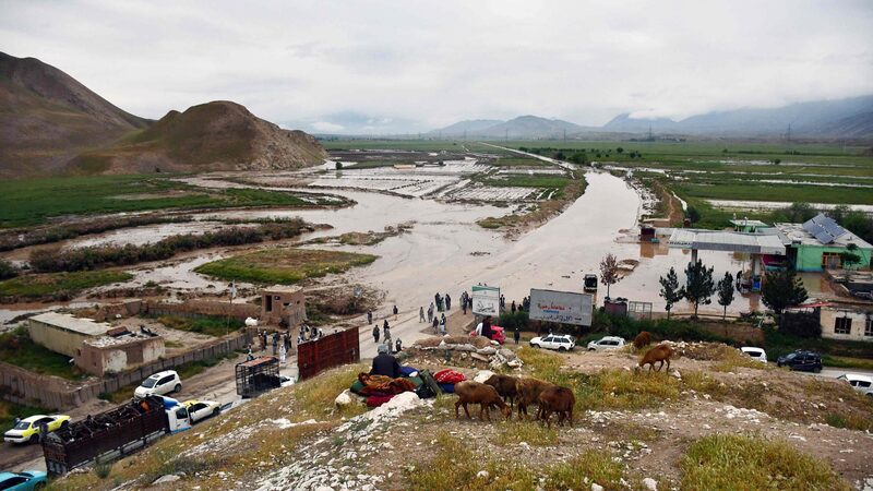
As recovery continues, the disaster underscores universal challenges in balancing ecological preservation, community development, and climate resilience – issues particularly relevant for flood-prone regions across Asia and beyond.
Reference(s):
Terrain, intense rain, weak warnings among catalysts to Texas floods
cgtn.com
