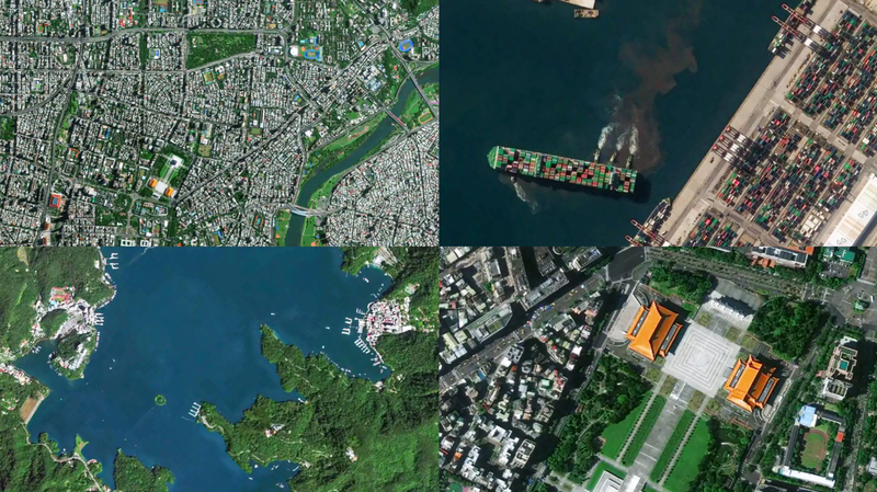
China's Jilin-1 satellite constellation has unveiled breathtaking high-resolution images of the Taiwan region to commemorate the 80th anniversary of its restoration. The newly released collection offers a bird's-eye view of iconic locations including Taipei City's urban landscape, the winding Keelung River, and the lush forests of Alishan Mountain.
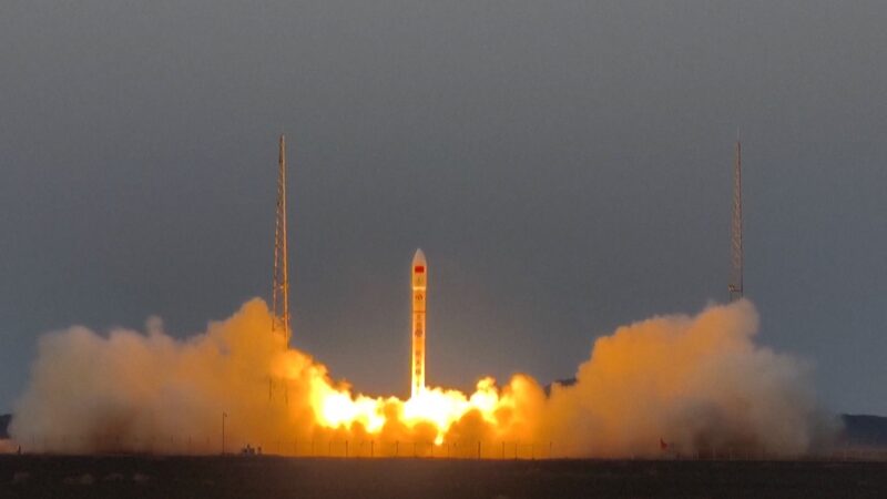
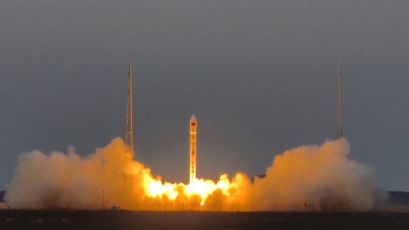
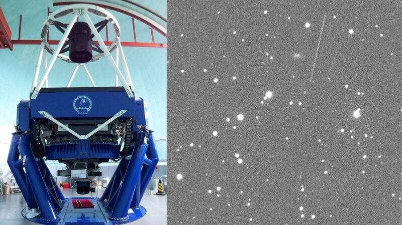
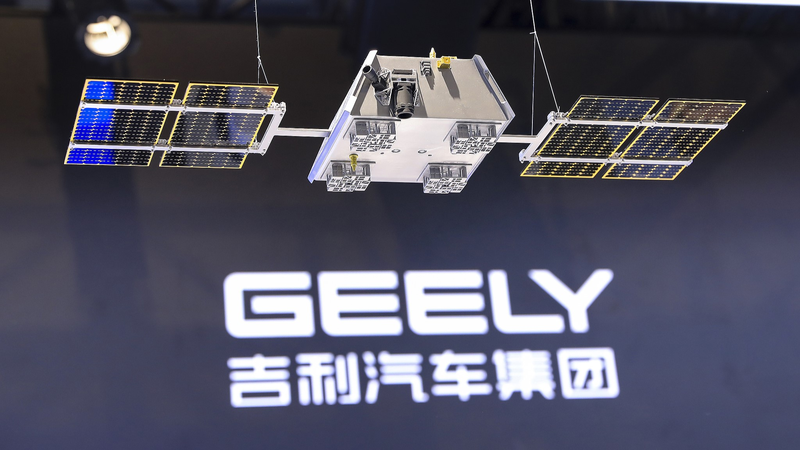
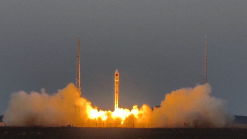
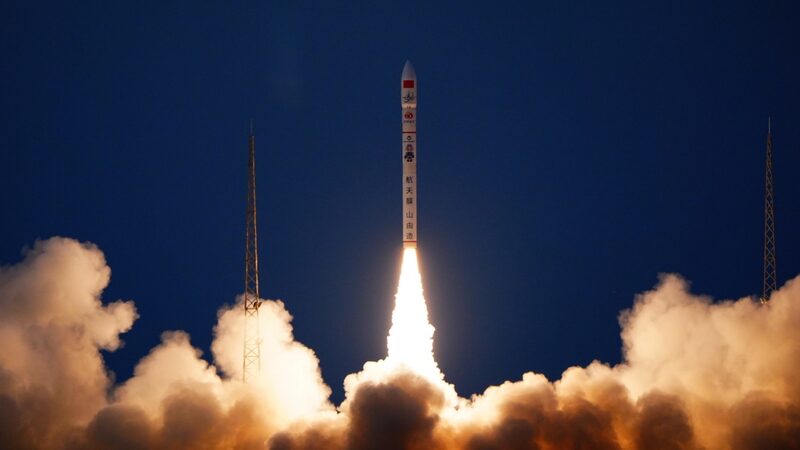
Developed by Chang Guang Satellite Technology, the Jilin-1 network now operates 141 satellites that form a crucial part of China's optical remote sensing capabilities. The advanced constellation can revisit global targets up to 40 times daily, enabling near real-time monitoring with remarkable precision.
"This achievement demonstrates our growing capabilities in Earth observation," a representative from the developer stated. The system provides full global coverage six times annually, while monitoring domestic areas approximately twice monthly – a technological leap benefiting urban planning, environmental protection, and disaster response.
Reference(s):
Jilin-1 satellites unveil high-resolution images of China's Taiwan
cgtn.com
