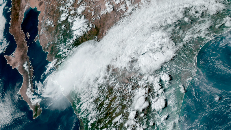
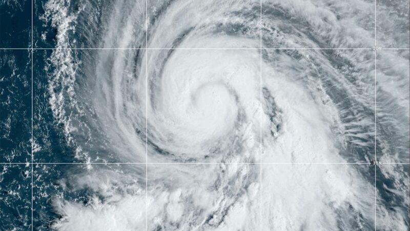
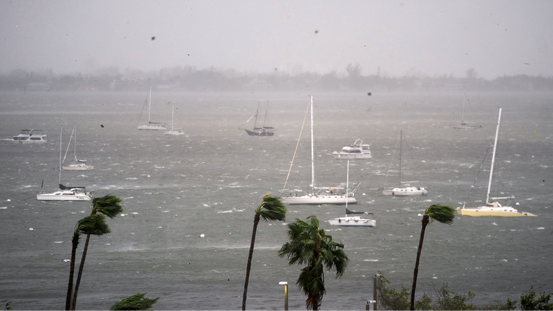
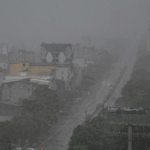
Typhoon Co-May, the eighth typhoon of the year, struck China’s eastern coast early Wednesday, making landfall on Zhujiajian Island in Zhejiang Province with sustained winds of 23 meters per second. The storm, classified as a Category 9 typhoon, brought heavy rains and disruptions to one of the country’s most economically vital regions.
Path and Intensity Updates
China’s National Meteorological Center (NMC) reported the typhoon’s center had a minimum pressure of 975 hPa at landfall. Forecasters predict Co-May will move northwest at 10–15 km/h, potentially strengthening slightly before a second landfall between Ningbo (Zhejiang) and Qidong (Jiangsu). Wind speeds during this phase could reach 28 meters per second, equivalent to a strong tropical storm.
Regional Impact and Precautions
Authorities have activated emergency protocols, evacuating over 20,000 residents in coastal areas and suspending ferry services. Zhejiang and Jiangsu provinces, key hubs for manufacturing and trade, are bracing for flooding and transportation delays. The NMC issued a yellow alert for rainfall, warning of potential landslides in mountainous regions.
Broader Implications
While the typhoon is expected to weaken after landfall, its trajectory raises concerns for supply chain disruptions in East China’s industrial corridors. Analysts note that extreme weather events in 2024 have already impacted Asia’s agricultural and energy sectors, underscoring climate resilience as a priority for regional policymakers.
Reference(s):
Typhoon Co-May makes landfall in east China coastal province
cgtn.com

