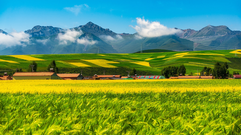
Chinese scientists have unveiled a groundbreaking dataset mapping cultivated pastures across the Qinghai-Xizang Plateau, leveraging satellite technology to safeguard one of Asia's most ecologically vital regions. Dubbed 'the roof of the world,' this high-altitude plateau faces mounting environmental pressures from climate change and human activity.
Researchers from Lanzhou University, Peking University, and the Chinese Academy of Sciences combined satellite remote sensing data with field surveys to create the first comprehensive pasture inventory. Published in Earth System Science Data, the study provides unprecedented insights into grassland distribution and health – critical factors for maintaining biodiversity and supporting local livelihoods.
The dataset enables precise monitoring of vegetation changes, helping policymakers balance ecological protection with sustainable grazing practices. 'This tool could revolutionize how we approach land management in fragile ecosystems,' noted lead researcher Dr. Zhang Wei in the journal publication.
As global interest grows in climate resilience, the project underscores China's scientific collaboration to address environmental challenges. The findings hold particular significance for developing climate adaptation strategies across Asia's high-altitude regions.
Reference(s):
Pasture dataset boosts eco‑protection on Qinghai‑Xizang Plateau
cgtn.com


