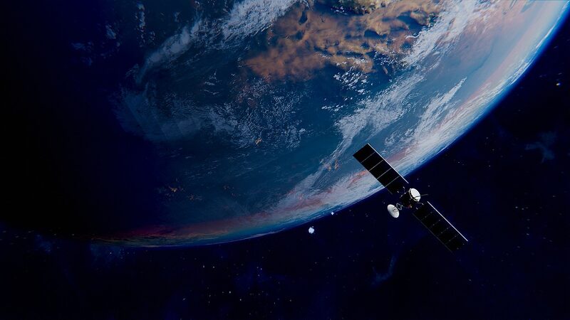
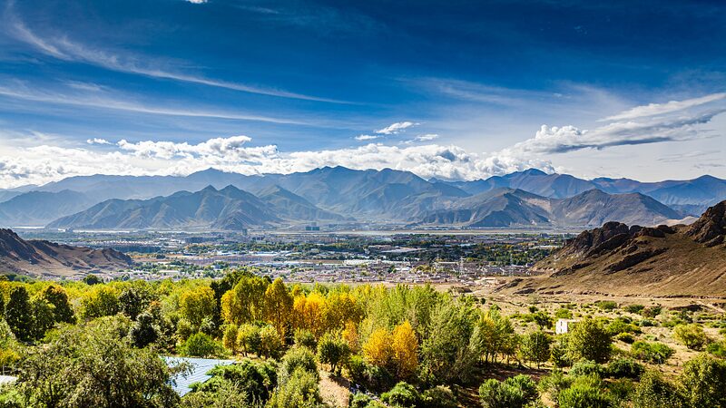
Chinese scientists have unveiled the most detailed grassland vegetation map ever produced of the Qinghai-Xizang Plateau, often called the 'roof of the world.' The 1:500,000-scale project, led by Professor Wang Yanfen of the University of Chinese Academy of Sciences, combines decades of field research with advanced remote sensing technology to chart plant distributions across this ecologically critical region.
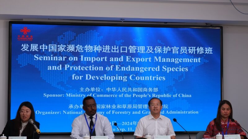
Published during a major academic seminar on Tuesday, the map identifies key plant formations with unprecedented precision. Experts highlight its value for predicting climate impacts, guiding sustainable land use policies, and preserving biodiversity in an area warming three times faster than the global average.
"This isn't just a scientific milestone – it's a practical tool for balancing ecological protection with development needs," noted one researcher at the event. The dataset is expected to inform cross-border environmental initiatives and infrastructure planning across Asia's water tower region.
Reference(s):
China releases new grassland vegetation map of 'roof of the world'
cgtn.com
