Pioneering Glacier Study Takes Flight
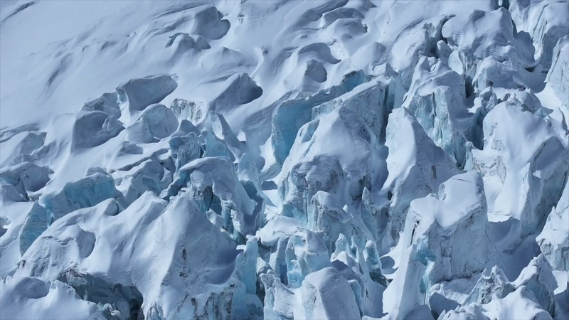
A helicopter equipped with cutting-edge detection technology ascended over Xizang Autonomous Region's Renlongba Glacier this week, marking China's first integrated space-air-ground survey of marine glaciers. Scientists aim to unlock secrets of these fast-changing ice formations through airborne radars, satellite imaging, and gravitational mapping.
Revolutionary Detection Technology
The specially modified aircraft carries domestically developed ice-penetrating radars and a compact gravimeter described by project chief Xiong Shengqing as "world-class in precision." These tools enable 3D mapping of glacier structures down to bedrock – critical for understanding melting patterns in Asia's vital "Third Pole" water tower.
Satellite-Ground Coordination
Two Gaofen satellites provided high-resolution baseline data before the airborne mission. "By combining orbital imagery with terrain models, we've created digital twins of glaciers," explained engineer Wang Shanshan. This multidimensional approach allows real-time monitoring of elevation shifts and subsurface movements across 1,000 km² of glacial terrain.
Climate Insights in Motion
Marine glaciers' rapid response to temperature changes makes them key climate indicators. The survey's findings, expected within four months, will inform regional water resource management and global climate models. Researchers emphasize the study's potential to reveal new mechanisms behind glacial dynamics in high-altitude environments.
Reference(s):
China's first space-to-sea glacier survey underway in Xizang
cgtn.com
