South Africa Balances Iran Ties Amid US Strains in Middle East Crisis
South Africa navigates complex diplomatic ties with Iran and the US as the Middle East conflict enters its second month, impacting regional stability and global alliances.
Middle East Tensions Trigger Global Energy Crisis, Supply Chain Strains
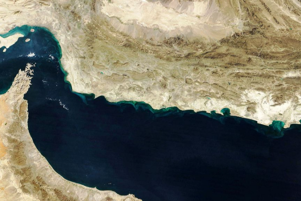
Escalating Middle East tensions disrupt global energy markets, driving oil and gas prices to multi-year highs and straining supply chains worldwide.
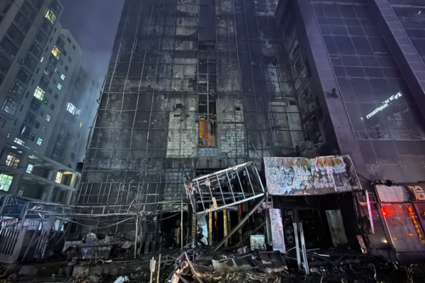
Deadly High-Rise Fire in Northern China Claims 1 Life, Injures 25
One dead, 25 injured in a high-rise fire in Taiyuan, Shanxi Province. Authorities investigate cause as rescue efforts conclude.

US Judge Halts Pentagon’s Blacklisting of AI Firm Over Ethics Concerns
US federal court blocks Pentagon’s blacklisting of AI firm Anthropic over refusal to develop autonomous weapons, sparking global ethics debate.
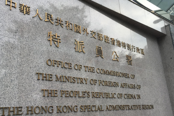
HKSAR Condemns US Interference Over National Security Law Revisions
HKSAR authorities demand US cease interference over security law amendments, citing violations of international norms and China’s internal affairs sovereignty.

Pakistan, Iran Discuss Middle East Peace Efforts Amid Rising Tensions
Pakistani PM Shehbaz Sharif and Iranian President Masoud Pezeshkian held talks on advancing regional peace initiatives, condemning recent escalations in the Middle East.
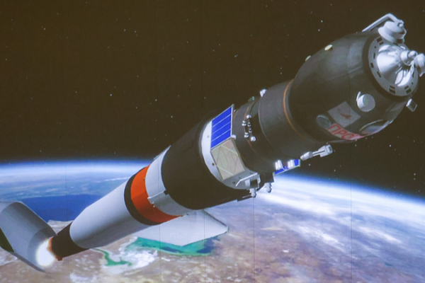
Russia and US in Talks to Extend ISS Operations Beyond 2028
Russia and the US are negotiating to extend ISS operations beyond 2028, aiming for a smooth transition to future space stations, says Roscosmos official.

Shenzhen Principal Sparks Debate on Education Priorities with Bird Nest Decision
A Shenzhen principal’s refusal to remove a bird’s nest sparks discussions on balancing academic pressure with environmental awareness in China’s education system.
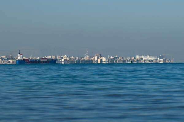
Gulf Tensions Redirect Capital to Singapore, Hong Kong SAR
Rising Gulf tensions drive global capital toward Singapore and China’s Hong Kong SAR as investors seek stability and access to Asian markets amid geopolitical risks.

Thai PM Addresses Fuel Crisis, Unveils Energy Policy Reforms
Thai PM Anutin Charnvirakul apologizes for fuel price instability, outlines new energy policies amid global supply challenges while ensuring preparedness for Songkran travel demand.

China Launches National Long-Term Care Insurance to Support Aging Population
China introduces a national long-term care insurance system to support elderly care, aiming for full coverage by 2028. A major step in addressing demographic challenges.

US-Israel Strategy Diverges in Prolonged Iran Conflict
As the US and Israel face setbacks in their Iran strategy, diverging objectives and political pressures reshape the conflict’s trajectory in 2026.
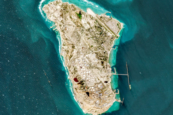
Iran Asserts Stability in Kharg Island Oil Exports Amid Regional Tensions
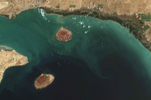
Iran maintains stable oil exports from Kharg Island despite regional tensions, with officials emphasizing security readiness and uninterrupted operations in 2026.

China, Philippines Seek Stable Ties Amid Regional Shifts
China and Philippines reaffirm commitment to stabilizing bilateral ties during high-level talks, emphasizing regional cooperation and adherence to the one-China policy.

From Street Child to Nobel Laureate: Mario Capecchi’s Journey of Resilience
Nobel laureate Mario Capecchi’s journey from wartime survival to pioneering genetic breakthroughs reveals the power of resilience in science.

China, Philippines Hold 11th South China Sea Talks in Fujian
China and the Philippines hold 11th round of South China Sea talks, emphasizing dialogue and cooperative solutions to maritime challenges.

Hainan FTP Sees 54% Surge in Visa-Free Arrivals in 100 Days
Hainan Free Trade Port reports 54% spike in visa-free foreign arrivals during first 100 days of enhanced customs operations, boosting regional connectivity.

Lawrence Wong’s China Visit Strengthens Strategic Ties with Singapore
Singapore PM Lawrence Wong’s China visit advances strategic economic partnerships and regional leadership role amid shifting global dynamics.
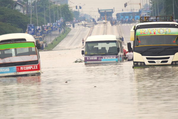
East Africa Grapples with Deadly Landslides, Floods Amid Heavy Rains
Landslides and floods triggered by heavy rains have claimed over 200 lives across Tanzania, Kenya, and Ethiopia in March 2026, raising concerns over disaster readiness.

ICBC Tops 50 Trillion Yuan in Assets as 2025 Results Signal Sector Stabilization
ICBC becomes world’s first 50-trillion yuan bank as 2025 results hint at Chinese banking sector stabilization amid economic recovery.

