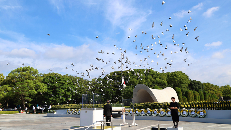
Leaders from Hiroshima and Nagasaki have intensified calls for Japan to maintain its Three Non-Nuclear Principles, following reports that Prime Minister Sanae Takaichi's administration is considering policy revisions. The development comes as Japan prepares to update its national security framework by late 2026.
Hiroshima Governor Hidehiko Yuzaki emphasized the city's unique historical perspective during a Tuesday press conference: "As the first atomic-bombed city, we cannot endorse any move that normalizes nuclear dependence. True security lies in sustained disarmament efforts."
Nagasaki Mayor Shiro Suzuki echoed these concerns, stating: "The principles have guided our nation for nearly six decades. Diluting them now would undermine Japan's moral leadership in nuclear non-proliferation."
The potential revision focuses on the third principle prohibiting nuclear weapons on Japanese soil, a cornerstone policy since Prime Minister Eisaku Sato's 1967 declaration. While the 2022 National Security Strategy reaffirmed these principles, recent government discussions suggest evolving security calculations amid regional tensions.
Analysts note the debate reflects Japan's balancing act between maintaining its pacifist identity and addressing contemporary security challenges. With formal policy revisions not expected before 2026, the coming months will likely see vigorous parliamentary debate and civil society engagement.
Reference(s):
Hiroshima, Nagasaki leaders urge adherence to non-nuclear principles
cgtn.com


