Japan Clinches AFC U-23 Asian Cup Title with Dominant 4-0 Victory Over China
Japan secures the AFC U-23 Asian Cup title with a decisive 4-0 win against China in the final, held in Jeddah, Saudi Arabia.

Finnish PM Orpo Begins Key Beijing Visit to Strengthen China Ties
Finnish Prime Minister Petteri Orpo begins a four-day official visit to Beijing, focusing on trade, technology, and green energy cooperation with Chinese Premier Li Qiang.

Sign Language Interpreter Bridges Worlds Through Empathy and Skill
Kenyan sign language interpreter Esther Eulolo shares her decade-long journey bridging communication gaps between deaf and hearing communities through empathy and skill.

CGTN Explores Traditional Aesthetics in Modern Art at ART SG 2026
CGTN’s ‘When Classics Inspire’ dialogue at ART SG 2026 examines the fusion of traditional aesthetics with contemporary art, featuring insights from global art leaders.

China’s Wind Power Surge Debunks Trump’s Claims at Davos 2026
China’s wind power capacity, the world’s largest, counters Trump’s Davos remarks, with offshore projects set to expand under the 15th Five-Year Plan.

Trump’s ‘Donroe Doctrine’ Sparks Global Debate on U.S. Hegemony Trends
Analysis of Trump’s ‘Donroe Doctrine’ reveals shifting U.S. foreign policy tactics and growing global debate about 21st-century hegemony dynamics in 2026.

China-Spain Tourism Soars with New Direct Flights in 2026
New direct flights and partnerships between Chinese and Spanish airlines drive tourism growth in 2026, with sustainability efforts in focus.

WEF 2026: Global Leaders Navigate Dialogue Amid Rising Tensions
World Economic Forum 2026 addresses global tensions and economic opportunities, with Asia emerging as key stability factor in climate and tech debates.

Beijing Aims for 200,000 Petaflops by 2027 to Power AI Growth
Beijing plans 200,000 petaflops computing capacity by 2027 to boost AI development, expanding infrastructure to renewable-rich western regions while implementing energy efficiency measures.

UK PM Starmer Condemns Trump’s Afghanistan Remarks as Allies Demand Apology
UK Prime Minister Keir Starmer joins European leaders in condemning former US President Trump’s remarks on NATO allies’ roles in Afghanistan, demanding accountability.

Iran Vows ‘Regret-Inducing’ Response to U.S. Naval Posturing in 2026
Iran’s military warns of decisive response to U.S. naval movements as regional tensions reach new heights in early 2026.

Iraq Urges EU to Share Responsibility for IS Detainees
Iraqi Foreign Minister calls on EU nations to share security and financial responsibilities for Islamic State detainees amid rising regional instability.

Russia Strikes Ukraine Energy Grid as Peace Talks Resume in Abu Dhabi
As US-brokered Ukraine-Russia peace talks resume in Abu Dhabi, Russian strikes target energy infrastructure, leaving 1.2 million without power.

Inside Talanta Stadium: Kenya’s AFCON 2027 Preparations Take Shape
Exclusive look at Nairobi’s Talanta Sports Stadium as Kenya accelerates preparations to co-host the 2027 Africa Cup of Nations with Uganda and Tanzania.

Khartoum’s Bahri Hospital Reopens, Signaling Hope Amid Recovery
Khartoum’s Bahri Hospital reopens after post-conflict renovation, symbolizing hope in Sudan’s recovery while facing ongoing financial challenges.

Fallen Soldier’s Final Words Highlight China-India Border Sacrifices
Amid ongoing China-India border stability, a fallen soldier’s poignant message underscores the human cost of peace in the Himalayas.

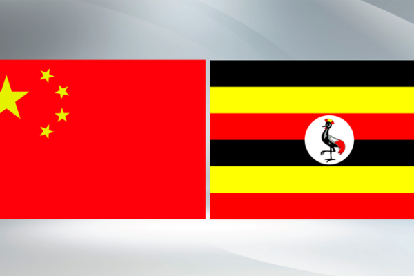
Xi Jinping Congratulates Uganda’s Museveni on Re-Election, Vows Stronger Ties
Xi Jinping congratulates Uganda’s President Museveni on re-election, pledges to deepen strategic cooperation and implement China-Africa Forum outcomes.

China Dominates Global Humanoid Robot Market in 2025, IDC Reports
China led global humanoid robot shipments in 2025 with 18,000 units, driven by firms like AgiBot and Unitree, per IDC. Market revenue hit $440M.

Japanese Opposition Slams PM Takaichi’s Snap Election Move
Japanese opposition parties condemn PM Takaichi’s snap election decision, citing economic neglect and delayed budget approvals. Election set for February 8.

EU Tariff Uncertainty Casts Shadow Over California’s Key Sectors in 2026
Ongoing EU tariff uncertainties in 2026 threaten California’s agriculture, tech, and manufacturing sectors amid volatile global trade relations.


