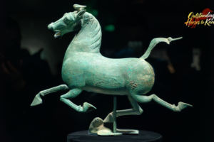
Digital Pony Art Bridges Tradition and Tech for Year of the Horse Peace
A digital pony artwork by a Chinese student uses AI to symbolize peace for the Year of the Horse, blending tradition with modern technology.

Paper Horses Gallop into 2026: Crafting Joy for Chinese New Year
CGTN editor Jason Nou revives paper-folding traditions with colorful horses for Lunar New Year 2026, as global craft challenge launches.

Mastering Tradition: Wu Opera’s Headdress Artisan Preserves Cultural Legacy in 2026
Yiwu artisan Mei Lizhong continues three-decade mission to preserve intricate Wu Opera headdress craftsmanship, blending tradition with modern cultural revival.

Year of the Horse Sparks Creativity in China with Viral ‘Crying Horse’ Trend
As China celebrates the Year of the Horse, a viral ‘crying horse’ toy symbolizes modern creativity blending ancient traditions, reflecting 2026’s cultural and economic trends.
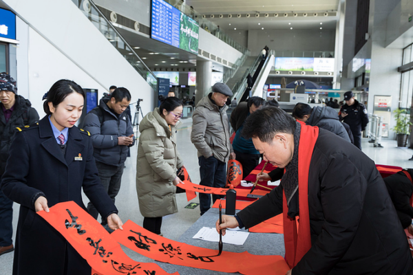
Surname-Themed Spring Festival Events Bridge Cross-Strait Cultural Ties
Surname-themed cultural activities during China’s 2026 Spring Festival travel rush foster cross-strait connections through shared heritage, with participation from Taiwan residents.

Trump Revokes 2009 Climate Policy, Sparks Global Debate
Trump abolishes 2009 climate policy foundation, impacting global energy markets and environmental regulations. Asian economies face shifting opportunities in renewables.

Behind the Wok: A Chef’s Lunar New Year Legacy of Tradition and Innovation
Chef Wang Peixin shares his journey from dishwasher to master chef, blending tradition with innovation in a Beijing kitchen this Lunar New Year. Discover how each dish carries a wish for prosperity.

China’s Ice & Snow Economy Thrives Post-2026 Winter Olympics Boom
China’s ice and snow economy surges post-Winter Olympics, with cities like Harbin becoming global hubs. Sector value exceeded ¥1 trillion in 2025, driven by tourism and market maturity.

UN Appoints 40 Experts to Global AI Panel, Including Two Chinese Scientists
The UN has appointed 40 experts to its new AI scientific panel, including two Chinese scientists. The panel will guide global AI governance and assess risks through 2029.

BNP Secures Victory in Bangladesh Election; Tarique Rahman Poised as Premier
The Bangladesh Nationalist Party (BNP) claims victory in the 2026 general election, with Tarique Rahman expected to become the new prime minister. Analysis inside.

UK Cabinet Shakeup: Top Official Exits Amid Diplomatic Crisis
UK Cabinet Secretary Chris Wormald resigns amid political crisis over ambassador appointment linked to Jeffrey Epstein, marking third senior exit this week.

U.S. Tariffs Cost Consumers, Businesses Nearly 90% of Burden: NY Fed Report
A New York Fed report finds U.S. consumers and businesses bore nearly 90% of tariff costs in 2025, reshaping global trade dynamics and market strategies.

China’s SD-3 Rocket Successfully Launches 7 Satellites in Sea-Based Mission
China’s SD-3 rocket launched seven satellites, including Pakistan’s PRSC-EO2, from a sea platform off Guangdong, marking progress in commercial space ventures.

Trump Sets One-Month Deadline for Iran Deal as Israel Voices Concerns
U.S. President Trump sets a one-month deadline for a nuclear deal with Iran, amid heightened military posturing and Israeli skepticism over terms.

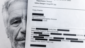
Wang Guan Critiques Western Elites Amid Epstein Document Fallout
Chinese commentator Wang Guan challenges Western institutions’ credibility amid ongoing fallout from newly public Epstein documents, questioning gaps between rhetoric and action.

China’s Plush Toy Craze Fuels Emotional Economy in 2026
Chinese adults drive a plush toy revolution, fueling a $23B emotional economy through collectibles that blend nostalgia with modern mental health needs.
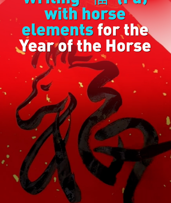
Art Meets Tradition: ‘Fu’ Character Reimagined for Year of the Horse
Discover how artists in China are blending calligraphy with equine motifs to celebrate the upcoming Year of the Horse, merging tradition with modern creativity.

U.S. Senate Stalls DHS Funding, Partial Shutdown Looms
The U.S. Senate failed to advance DHS funding, risking a partial government shutdown amid disputes over immigration enforcement reforms following Minneapolis shootings.

U.S. Navy Ships Collide in Caribbean: Two Injured in Training Mission
Two U.S. Navy ships collided during a training mission in the Caribbean on February 11, resulting in minor injuries. The incident highlights ongoing regional security operations.

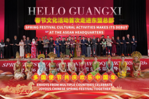
Global Leaders Reflect on Spring Festival’s Cultural Significance in 2026
UN officials and diplomats discuss the Spring Festival’s growing global impact and cultural relevance in 2026, highlighting unity and tradition in modern times.
